
Explore Your Future Neighbourhood
START/END: Esquimalt Recreation Centre (527 Fraser St)
DISTANCE: Approx. 2.5 km (1.5 miles)
TIME: 45–60 Minutes (Leisurely pace with stops)
DIFFICULTY: Easy to Moderate (One uphill section to High Rock Park)
STOP 1: The Community Heart (Start)
➡️ Location: Esquimalt Recreation Centre Plaza
What to see:
The Aquatic Centre: Home to a lazy river and lifestyle pool.
Bullen Park: Walk around the back to hear the thwack of the pickleball courts.
The Town Square: To your left is City Hall and the Library.
The Lifestyle: Living here means this is your backyard. No gym membership needed—it’s all right here.
STOP 2: The Village & Foodie Row
➡️ Directions: Walk North on Fraser St to Esquimalt Rd. Turn LEFT (West) and walk towards the traffic lights at Admirals Rd.
What to see:
Esquimalt Adventure Park: On your left, a splash pad and playground that buzzes with energy in summer.
The Shops: You are entering the commercial "High Street."
Serena’s Pizzeria (1258 Esquimalt Rd): Famous for their Philly Cheesesteaks.
Red Barn Market: A local favourite for fresh produce and their legendary deli sandwiches.
Local Tip: If you're hungry, grab a "Barnyard" sandwich from Red Barn to eat at the park later!
STOP 3: Memorial Park & The Ascent
➡️ Directions: Cross Esquimalt Rd at the crosswalk near Memorial Park. Walk through the park or along the path to Rockheights Avenue. Turn RIGHT and head North up Rockheights Ave.
What to see:
Memorial Park: A quiet, manicured green space honouring local veterans. A stark contrast to the busy street. Home to the Farmer’s Market (Thursdays May-Sep.)
The Neighbourhood: As you walk up Rockheights, notice the mix of heritage homes and established gardens. It’s quiet, safe, and residential.
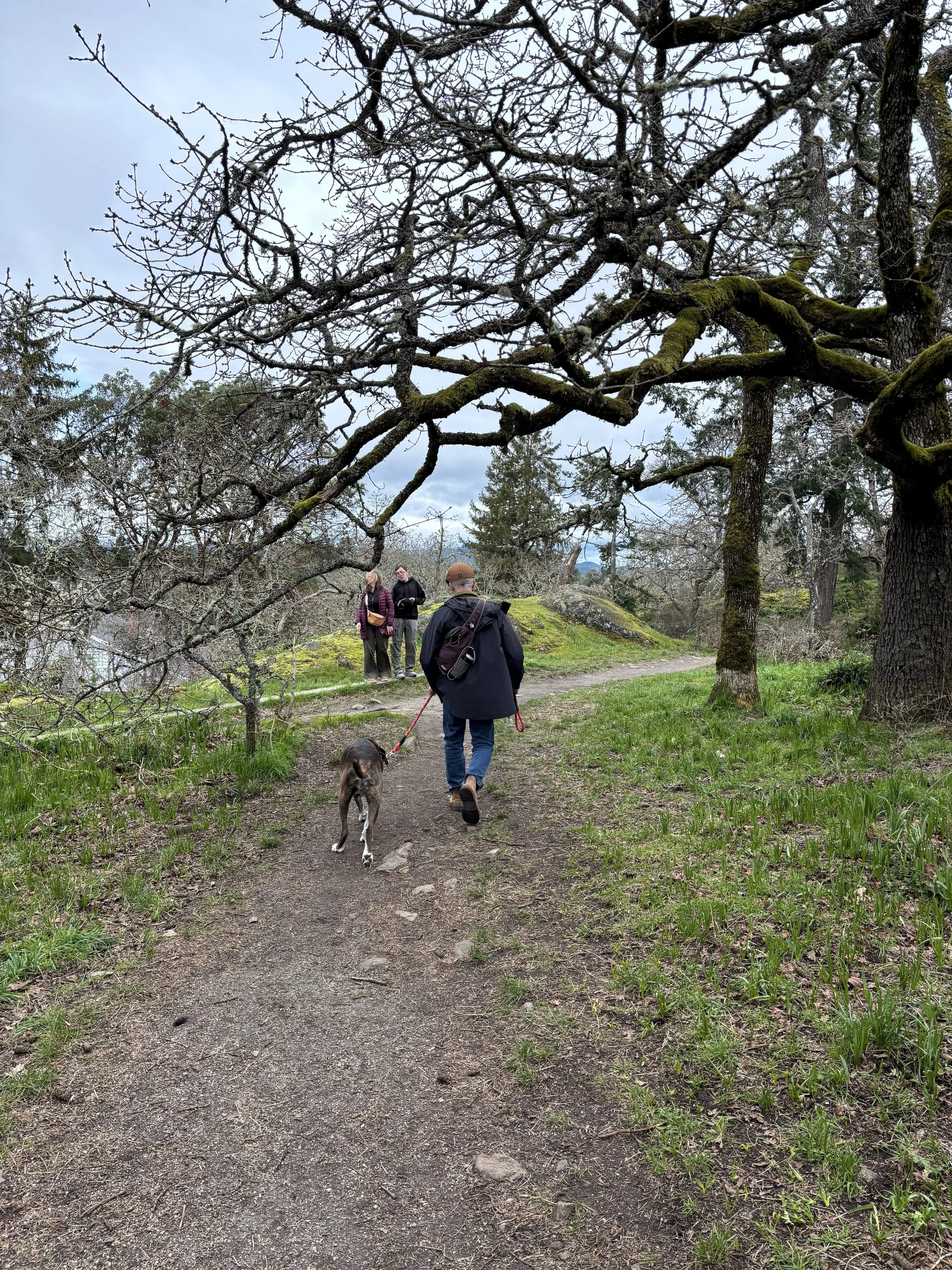
STOP 4: The Summit (High Rock Park)
➡️ Directions: Turn RIGHT (East) onto Highrock Avenue. Look for the park entrance on your left.
Action: Take the short trail loop to the viewpoint (Cairn).
The Lookout: From the top, enjoy 360-degree views of Victoria, the Olympic Mountains, and the Sooke Hills.
Prime Strolling: This is a rugged nature hike just 10 minutes from your front door. It’s the perfect spot for sunset dog walks.
STOP 5: The Secret Descent
➡️ Directions: Exit the park and continue East to Old Esquimalt Road. Turn RIGHT (South) to head downhill.
What to see:
Phil Ross Park: Keep an eye out for this small "pocket park" on your left. It’s a hidden green connector known mostly to locals.
The Shortcut: This road is the historic route to the harbour, lined with character homes.
STOP 6: The Future Home (1140 Esquimalt Rd)
➡️ Directions: Follow Old Esquimalt Road all the way down until it hits Esquimalt Road.
1140 Esquimalt Road (Across from the Country Grocer & Archie Browning Sports Centre)
The "15-Minute City" Check:
Across the street: Archie Browning Sports Centre (Hockey & Curling).
Next door: Country Grocer (Shopping).
At the curb: The #15 Express Bus stop to downtown.
Conclusion: You are standing in the most connected spot in the township.
STOP 7: Full Circle
➡️ Directions: Cross the street and walk West past the Archie Browning Centre to return to the Rec Centre.
Transit & Connectivity
Bus #15 (Esquimalt/UVic): High-frequency express route. Stops right in front of our future home.
Bus #25 (Maplewood/Tillicum): Downtown, Tillicum Center, and Saanich Center.
Cycling: The E&N Rail Trail is just blocks away, offering a dedicated bike path all the way to downtown Victoria, or towards Sooke Potholes Provincial Park in the other direction.
Local Secrets
Best Treat: The Apple Fritters at Esquimalt Bake Shop (near the Rec Centre) are consistently voted best in the city.
Best Dish: Syriana Cafe on Esquimalt Rd. for delicious Middle Eastern food, arabic coffee, and to-die-for baclava.
Best Sunset: If you have extra time, drive 2 minutes South to Saxe Point Park for ocean views.
Be Part of the Process!
This is a rare opportunity to help shape a cohousing community from the ground up—right here in Esquimalt. We’re actively welcoming new members who want to learn, engage, and grow with us.